
Visited 7th July 2016
Portland is an extreme peninsular joined naturally to the mainland by the 29 km of Chesil beach and connected to Wyke Regis and Weymouth by a bridge over the mouth of the Fleet. The bulk of the island is formed of large beds of very fine Jurassic limestone, eminently suited to civic buildings. As a result the major industry (in which Sue's ancestors were involved) was quarrying.
Sue's 4xgreat-grandmother, Mary Rodd, was baptised in Portland St George in 1782. Most of her ancestors (Rodds, Stones, Mitchells) seem to have been quarrymen from Portland. Unfortunately the pre-1700 parish registers are lost, so we cannot go back much further.
Mary married a non-islander in 1805, James Sansom (or Samson, or Sampson, or Sanson,...). The family lived in Weymouth for a while, then moved to Portsmouth. We don't know what happened to James, but Mary moved to Brighton, along with most of her children.
"Vision of Britain" entry for Portland
The Isle of Portland, Dorset - An Introduction to the Geology
The Encyclopaedia of Portland History
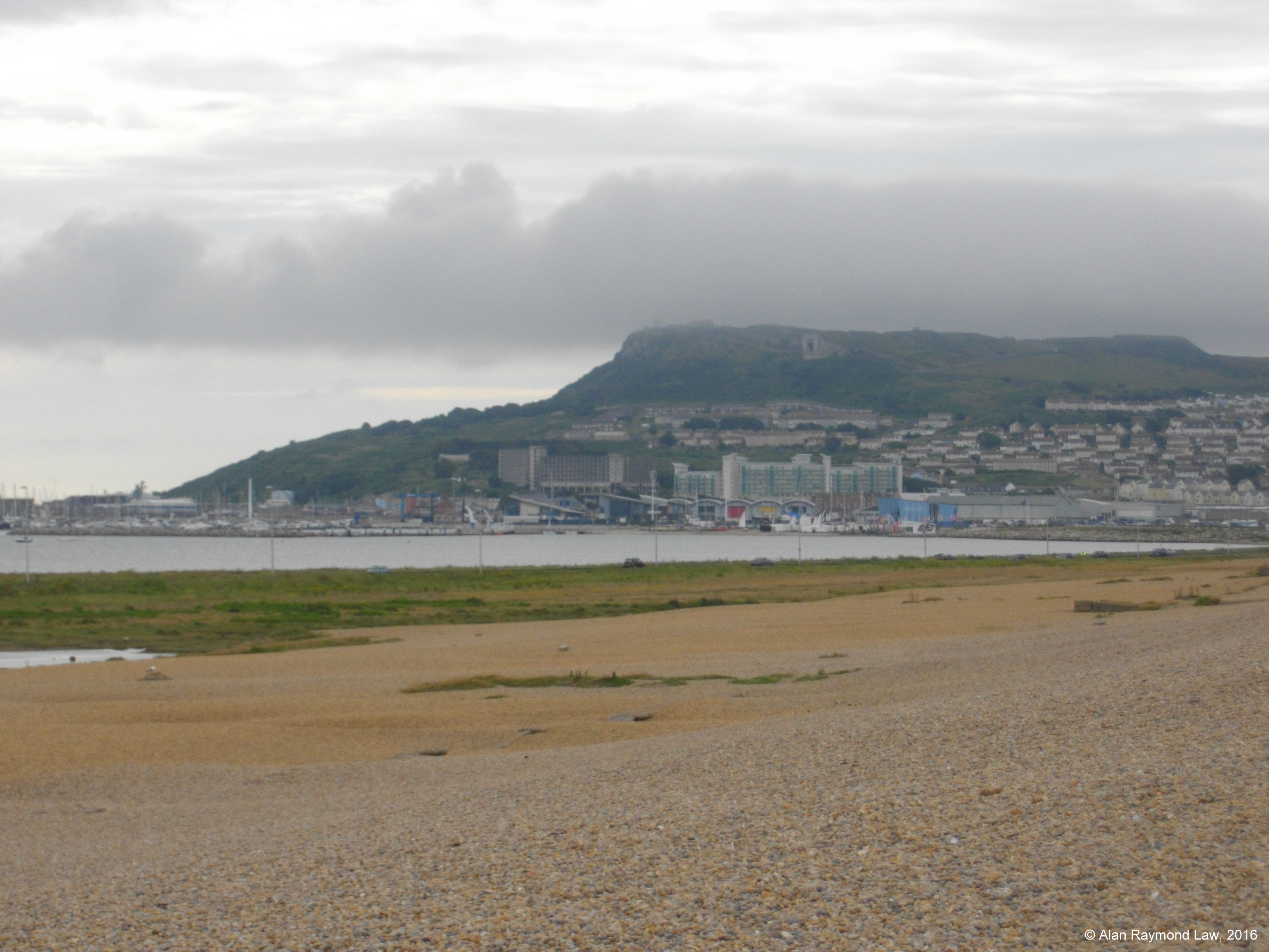 | 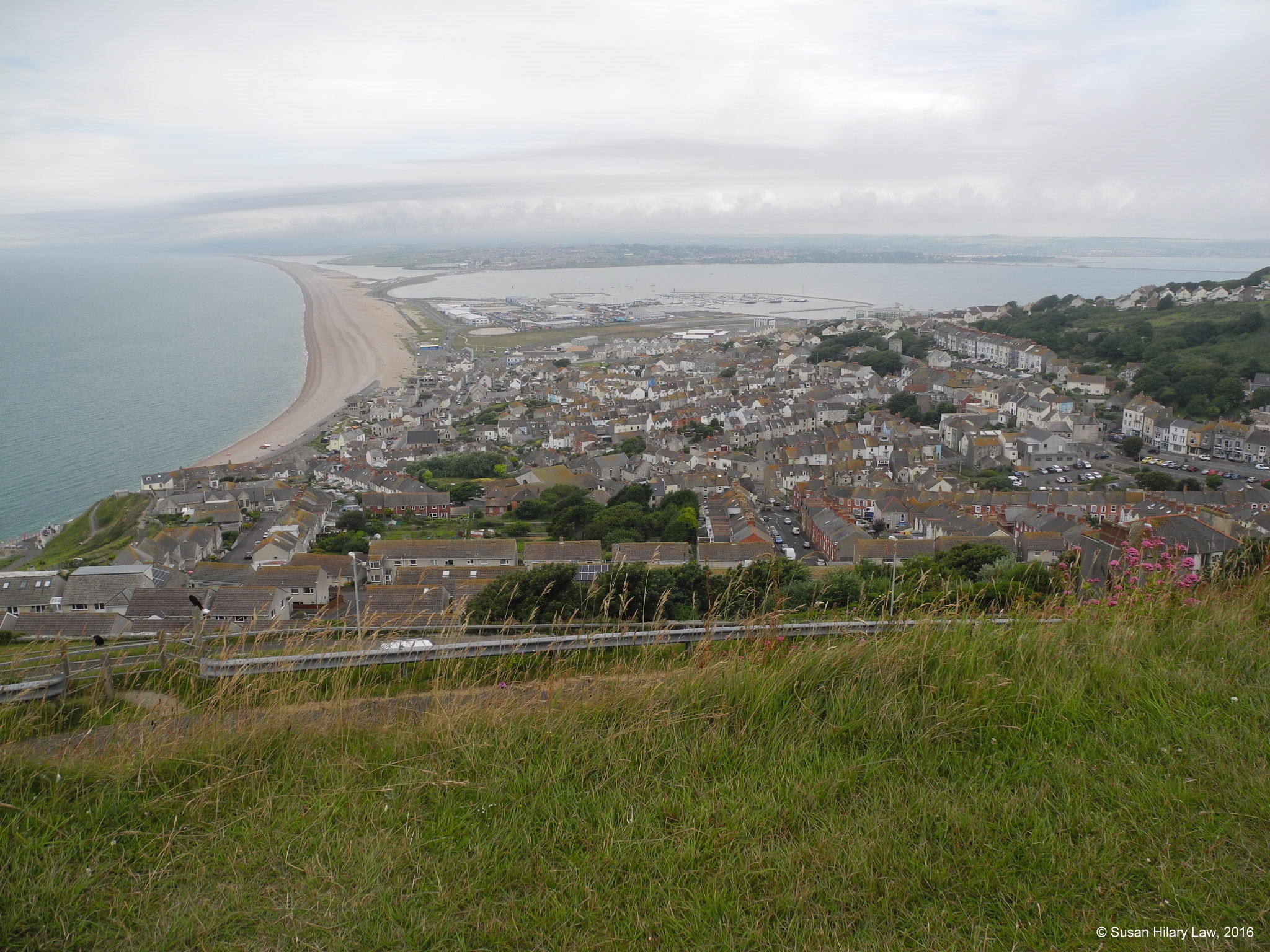 |
| Portland from Chesil Beach, with the northern end of Tophill (formed of the "Portland Stone Member") clearly visible. | View over Fortuneswell and Chiswell from the Cenotaph Lookout on Tophill. Relatives of Sue lived in both these locations. |
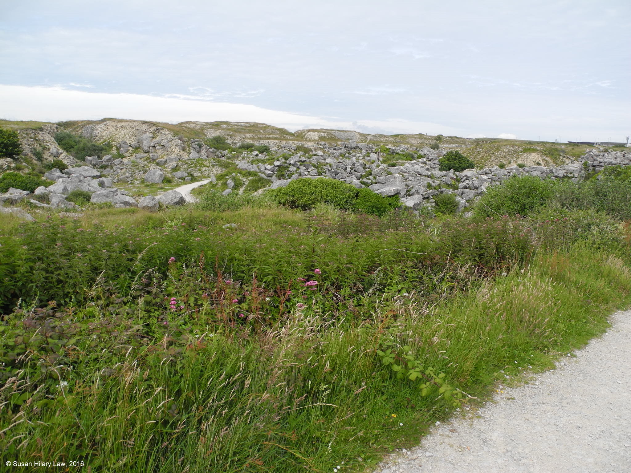 | 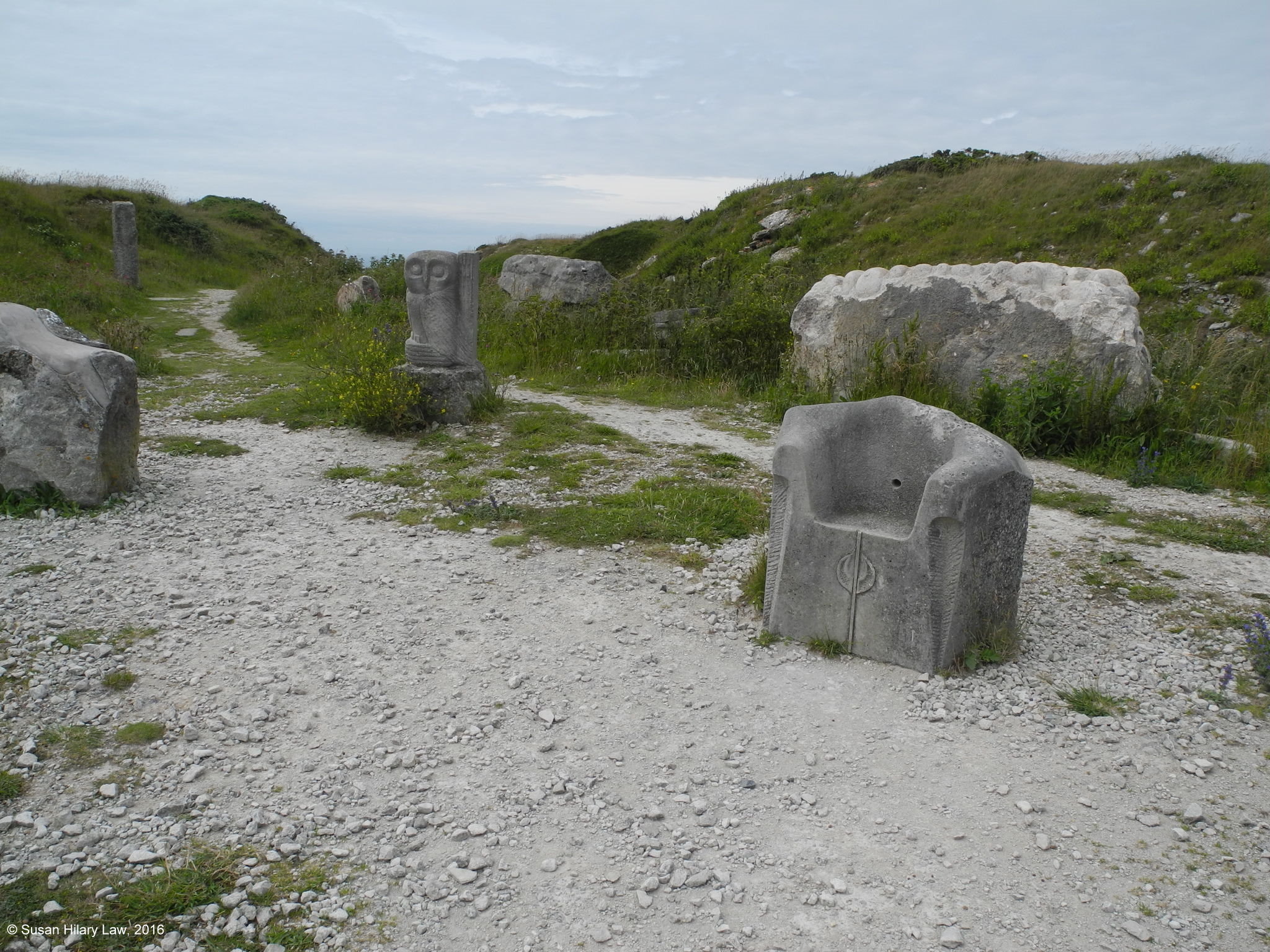 |
| View over Tout Quarry Sculpture Park. Tout Quarry was in operation in the 18th and 19th Centuries with some working done in the 20th Century. When it closed worthwhile scrap was removed and waste rubble cleared, but the stone workings are as the workers left them, showing every part of the quarrying process. | Sculptures in Tout Quarry Sculpture Park. In 1983 sculptors were invited into the quarry and allowed to sculpt any of the rock in the quarry. |
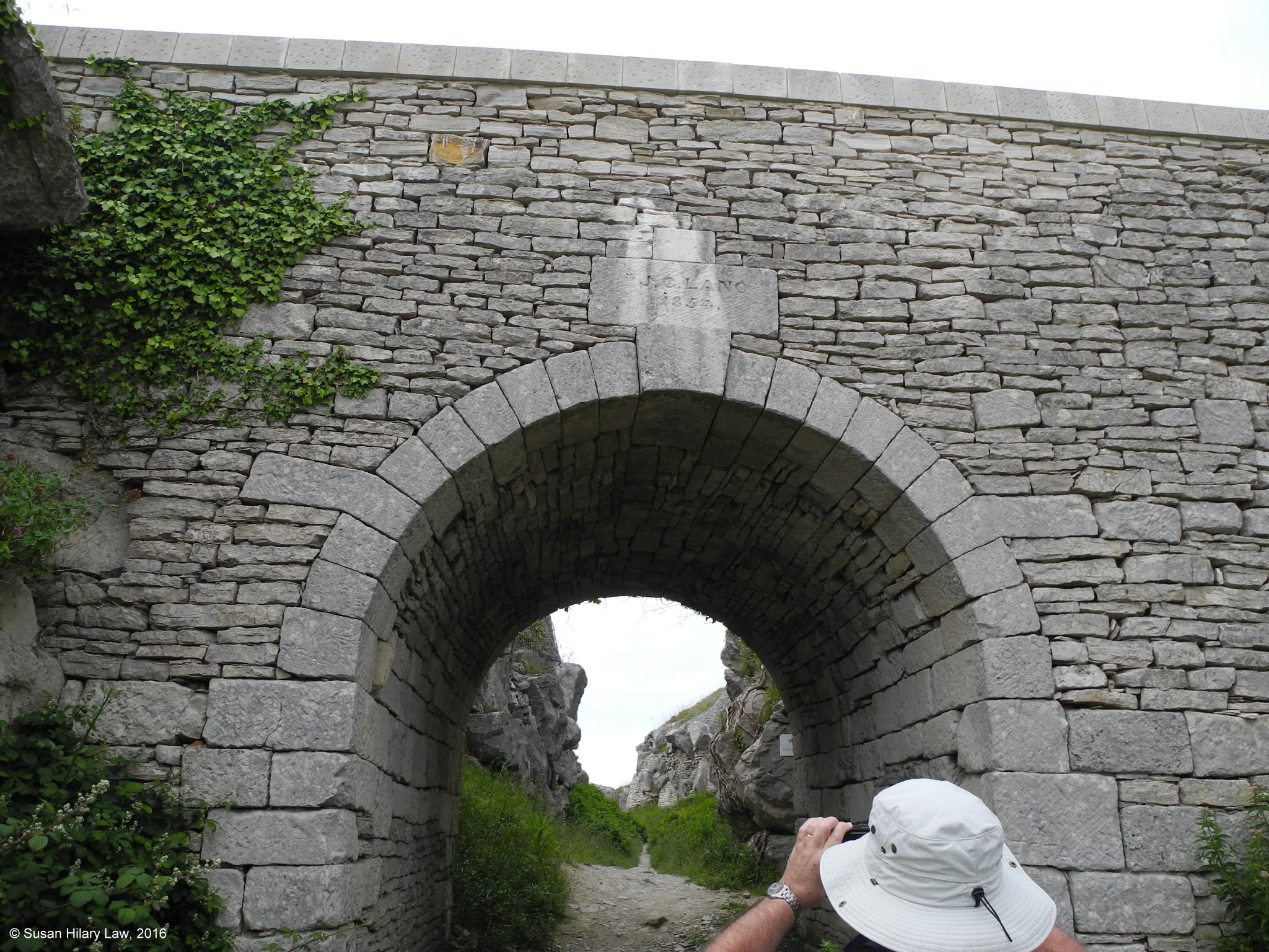 | 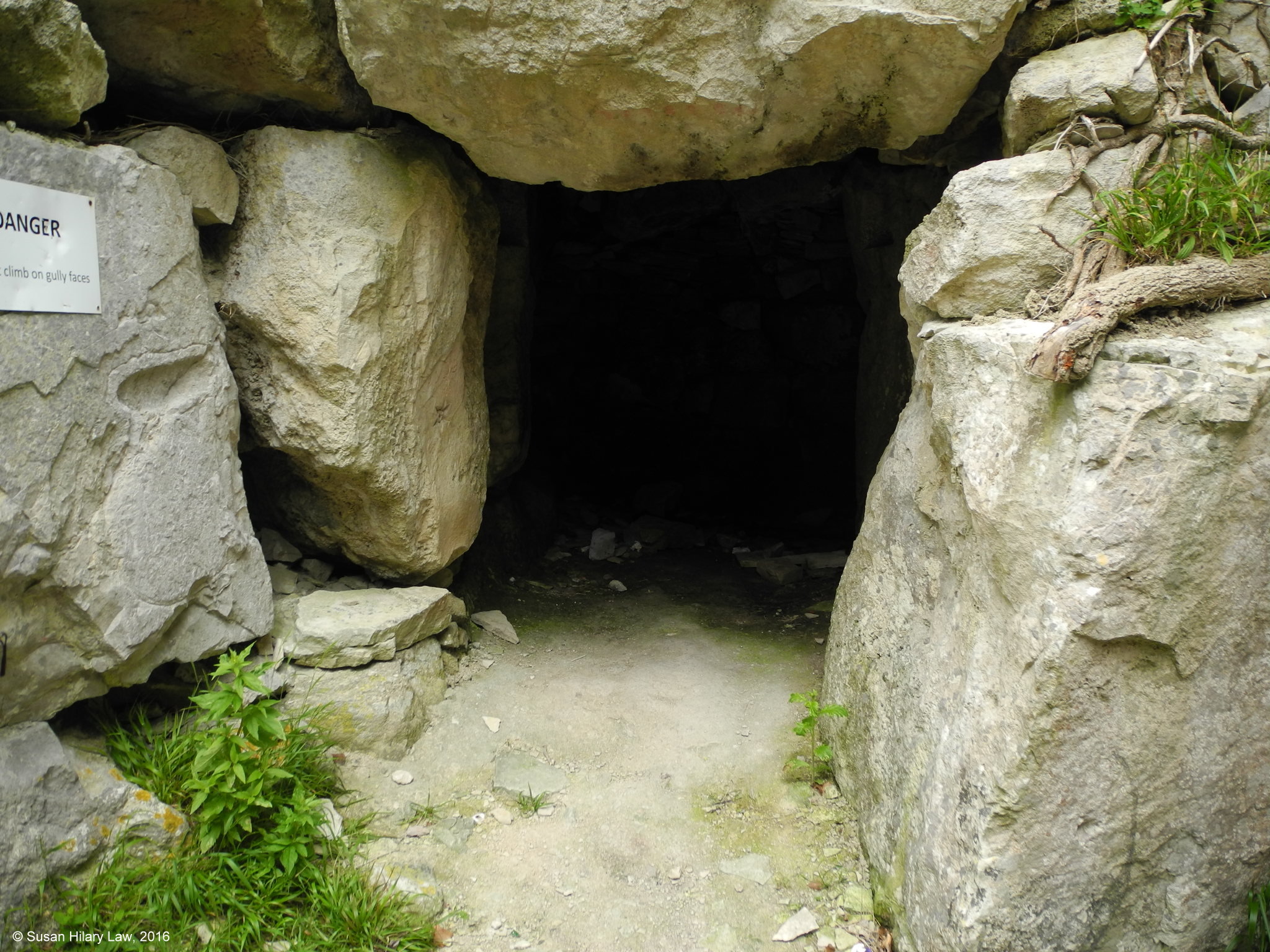 |
| Lano's Bridge, Tout Quarry. This bridge carried a tramway over Lano's Gully (visible through the arch). Lano's Gully formerly contained a tramway leading to a cliff-top tipping point for waste rubble. | Quarryman's Shelter, Lano's Gully, Tout Quarry. Quarrymen could shelter from the weather, eat and sometimes sleep here. |
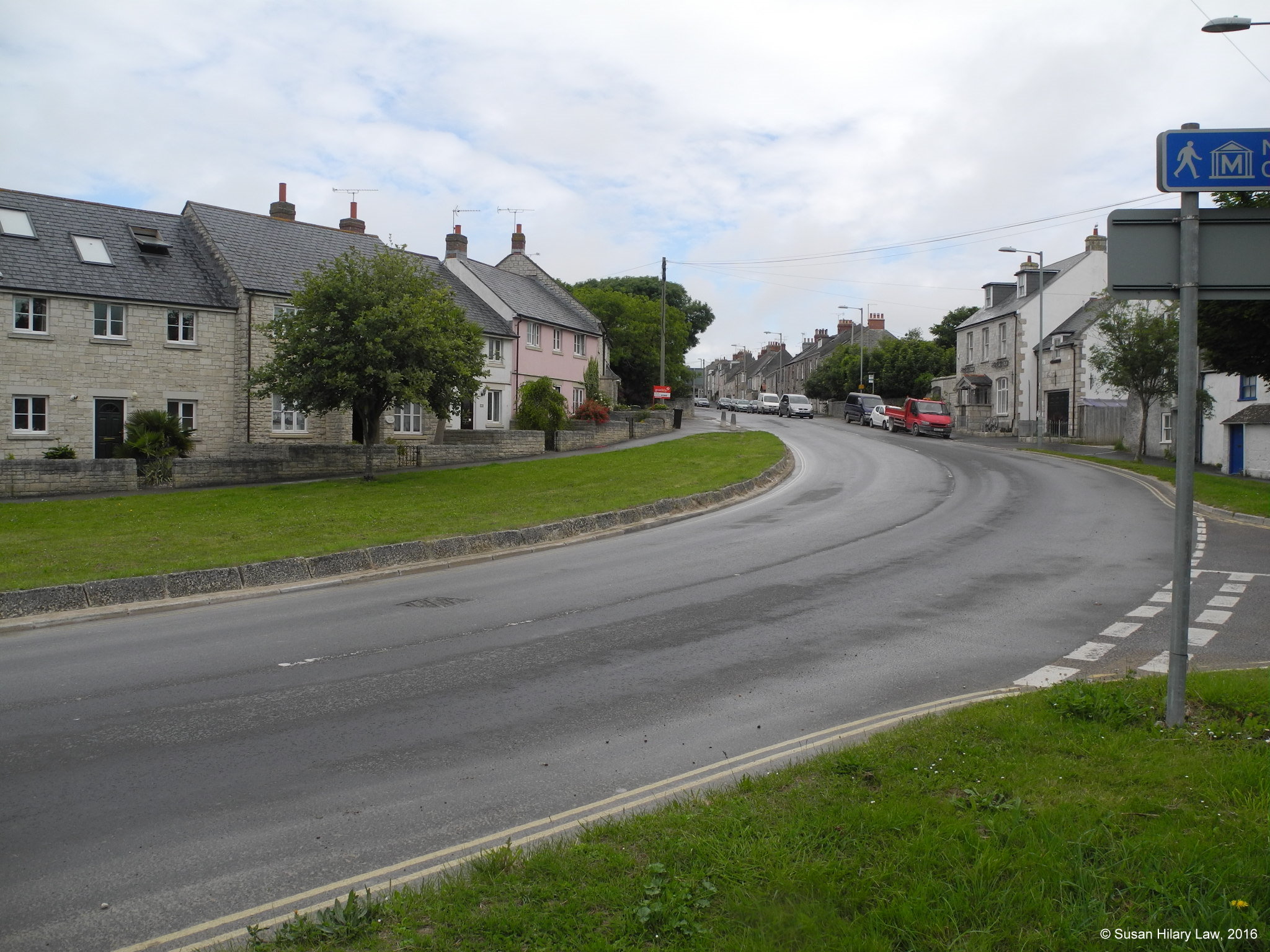 | 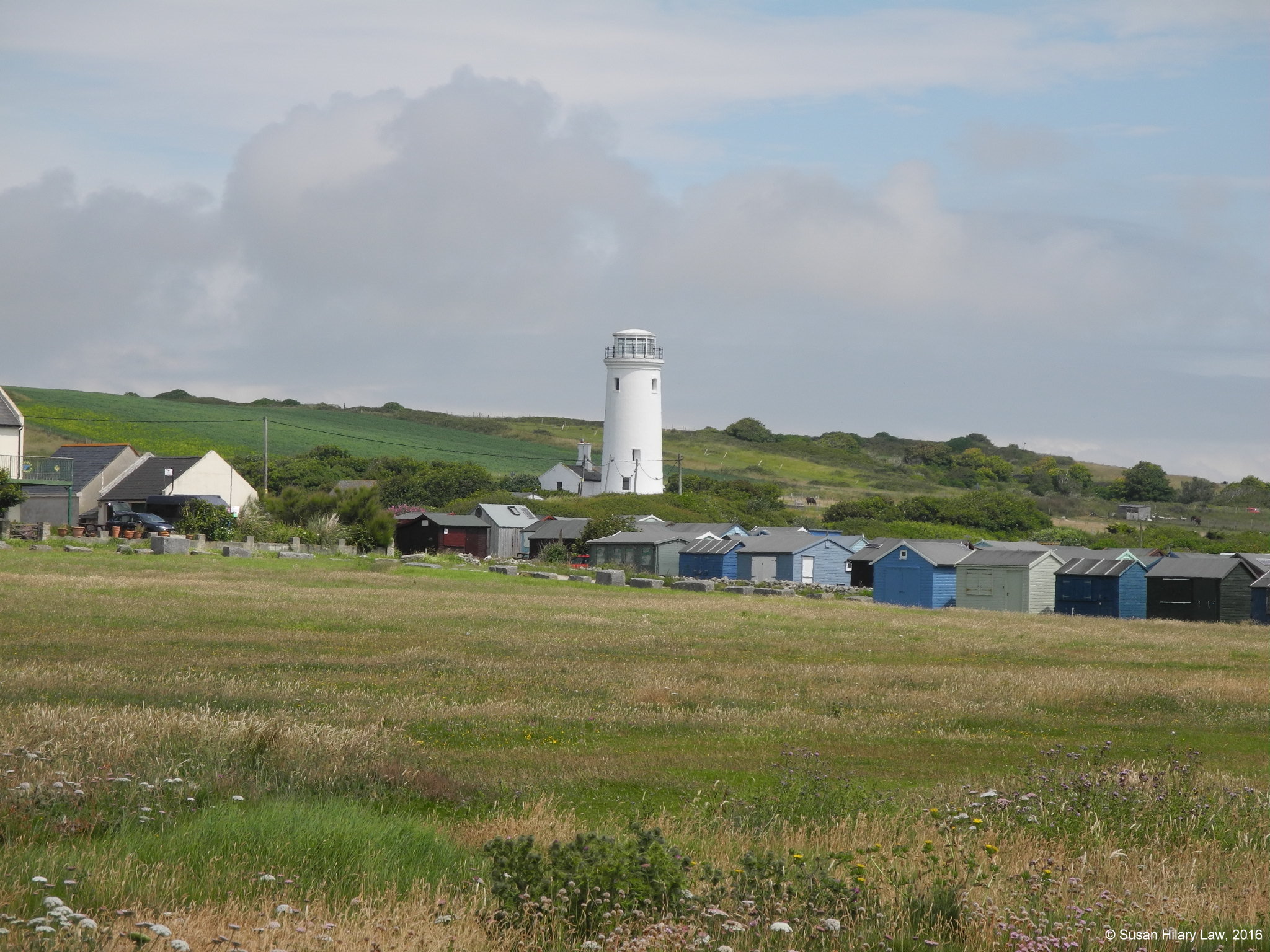 |
| Wakeham is the local name for the street and area where the quarrymen lived. The location name is widely used in local documentation, but doesn't appear on OS maps. | The Old Lower Lighthouse. Portland Bill used to have two lighthouses, one at each side of the ridge. This is the Eastern one which ceased operation when the new lighthouse was first lit in 1906. |
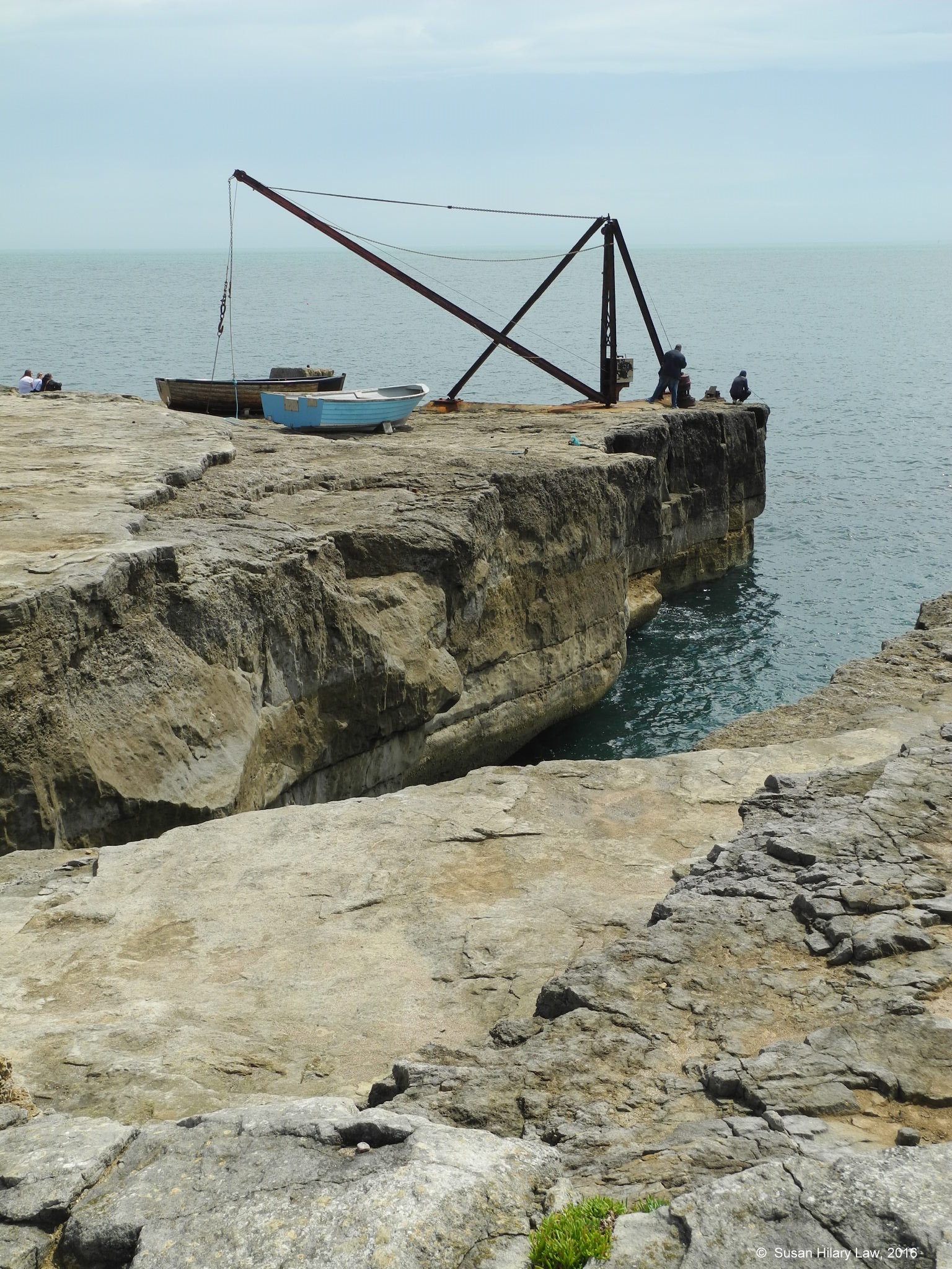 | 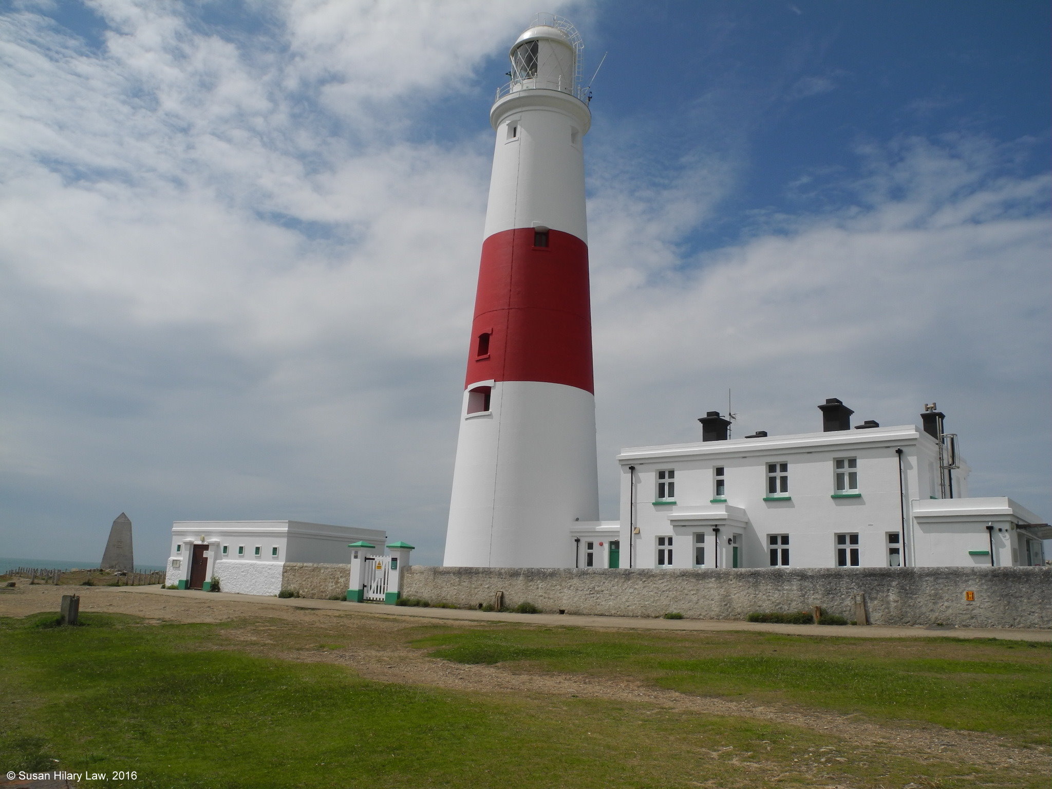 |
| The Red Crane on a former stone-loading quay. The original was a wooden crane. | Portland Bill Lighthouse with the Trinity House Obelisk in the background. The lighthouse was first lit in 1906. Before that navigation used the Upper and Lower Lighthouses with the Obelisk to mark the actual point. |
St Andrews was the original church of Portland and was in use until 1756. The cliff edges of Portland are unstable and there are frequent slips. The largest of these was the Great Southwell Landslip of 1734, which carried away a large chunk of the eastern side of Portland and created Church Ope Cove. The landslip damaged the church and most of the graveyard was also lost. The surviving land above the slip remained unstable and repairs were continually required. Eventually it was decided to abandon the church and build a new one (St George). In the interim the congregation worshipped at "The Tabenacle" in Wakeham. The locals then robbed the abandoned building for ready-made building stone.
Encyclopaedia of Portland History: St Andrew's Church
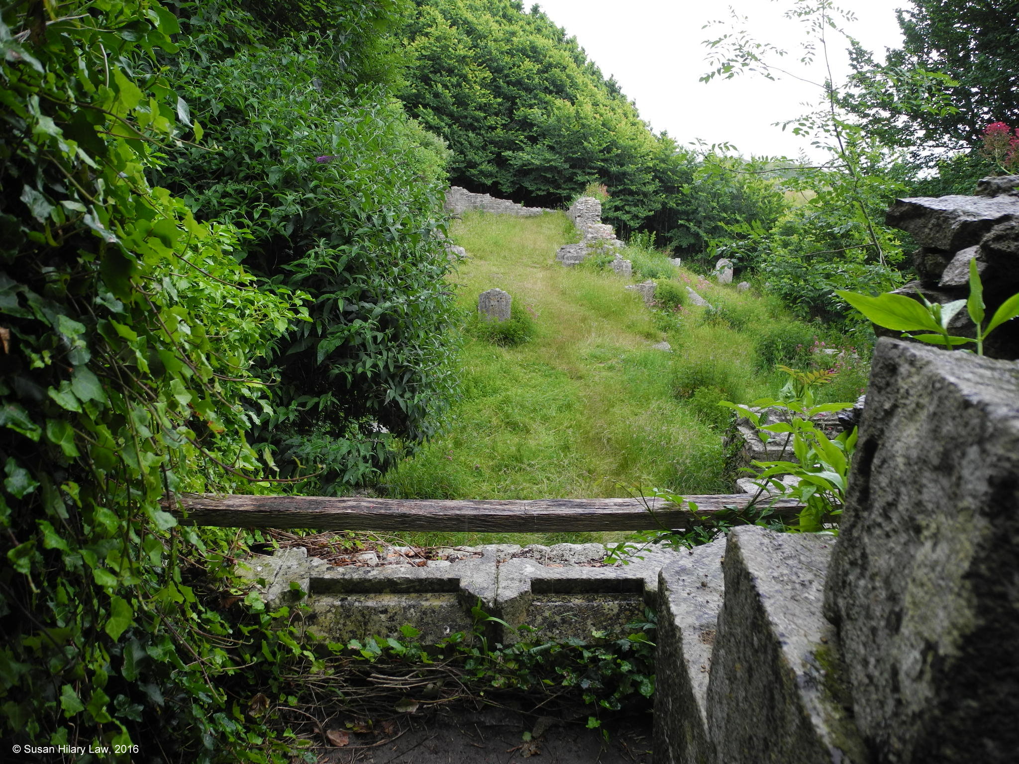 | 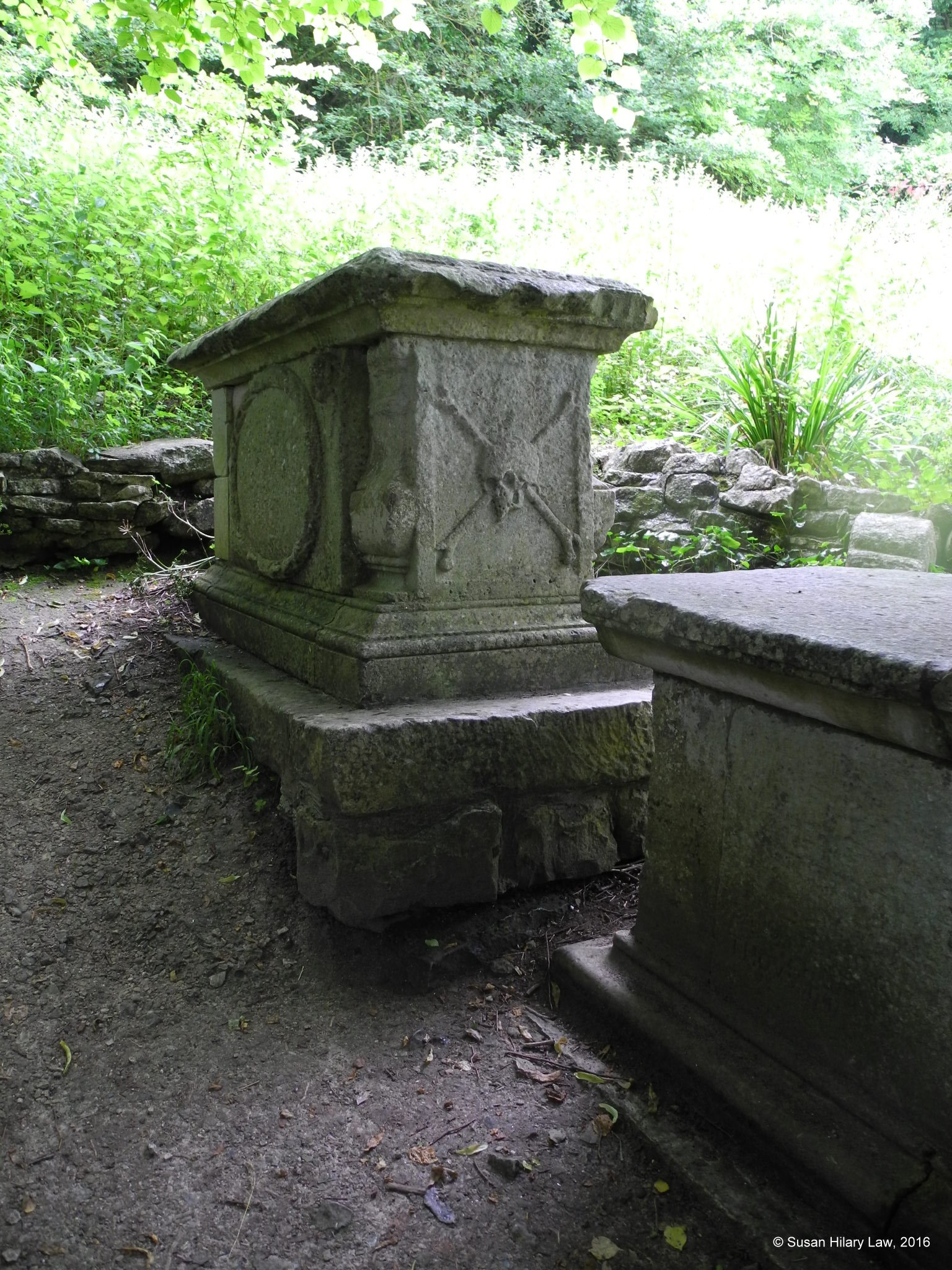 |
| Ruins of St Andrew's Church. The continued slumping of the plateau edge, left unsupported after the 1734 landslip, is clearly visible. | St Andrew's Churchyard, the so-called Pirate's Grave. Actually it just originates from a time when it was fashionable to use skeletal elements to emphasise the mortality of man on tombs. |
St George's was built 1754-1764 to replace the old St Andrew's Church which was seriously threatened by further land slippages after the Great Southwell Landslip of 1734. It is, of course, built of the local, grey limestone. The church was made redundant after the completion of All Saints, Easton in 1917 and fell into disrepair. It is now under the care of the Churches Conservation Trust and cared for by a group of local volunteers.
Given that a large fraction of the local population were quarrymen, everyone in the district seems to have been able to afford a gravestone. The churchyard is massive. Sue does have a number of relatives with marked graves, but without a churchyard map it would take days to find them.
The local volunteers were in the church when we were there so we could look around. On finding that my 4xGreat-Grandmother was from Portland I was welcomed as a "Portlander"! One of the volunteers was a Stone, and he declared that we must be cousins of some sort. What lovely people.
The Encyclopaedia of Portland History: St George's Church
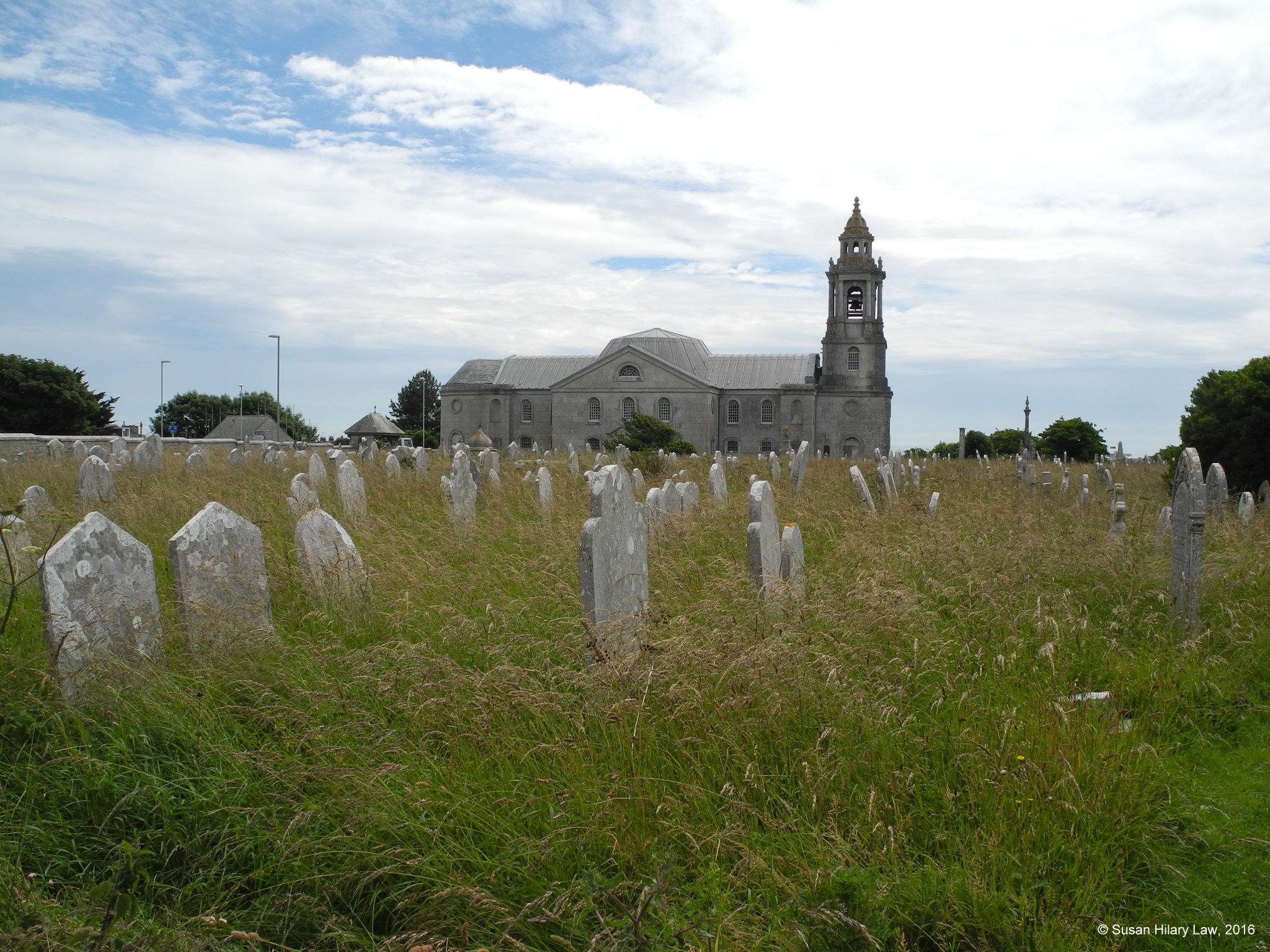 | 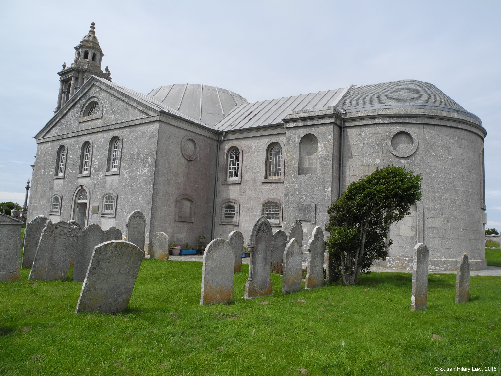 |
| St George across part of the churchyard. The churchyard is huge and this shows maybe 5-10% of it. | St George from the South-East displaying the beauty of the local stone. |
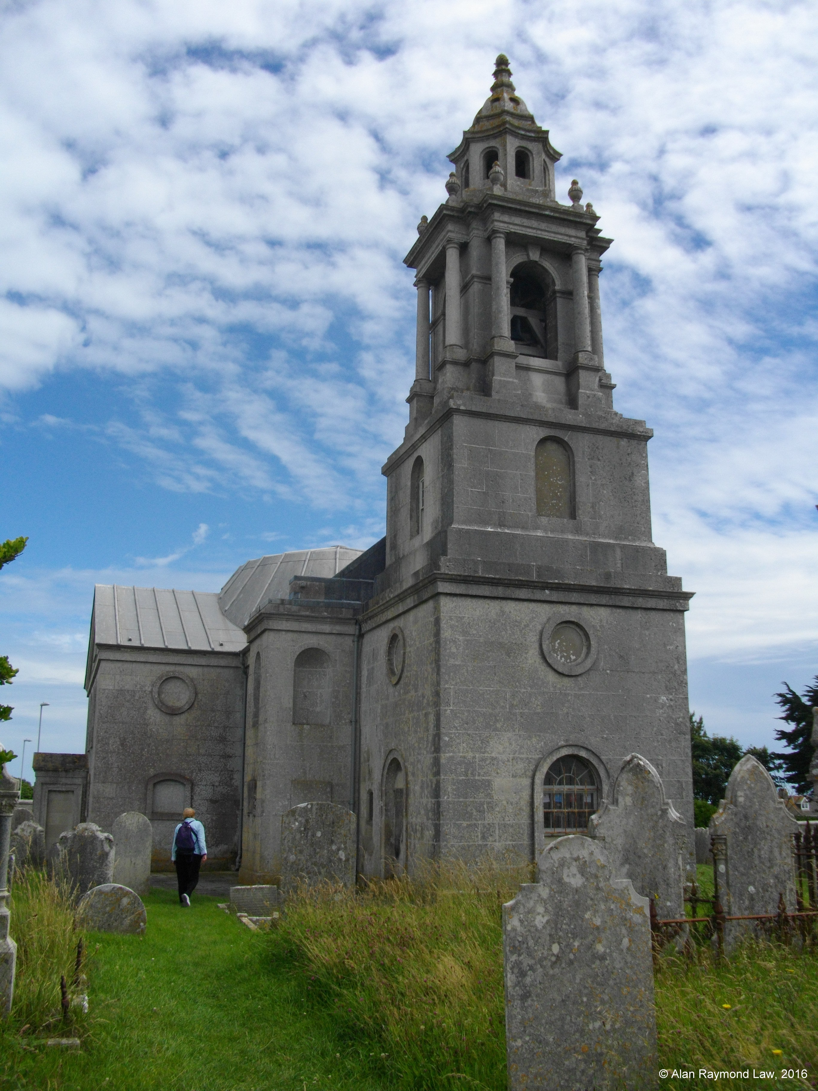 | 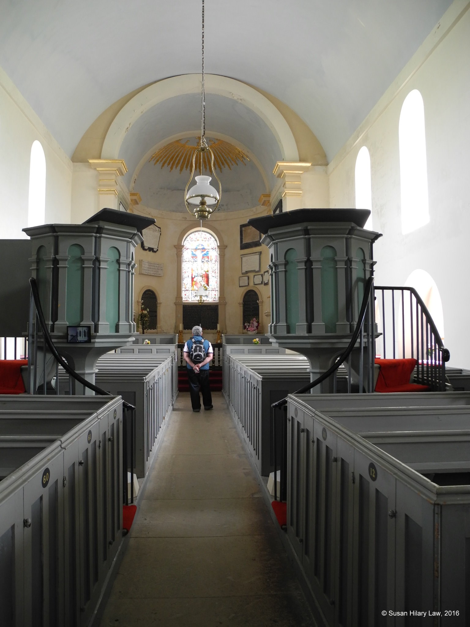 |
| St George West Front with fashionable short tower and cupola. The Portland stone merchants would have had regular dealings with London church builders and restorers. | St George interior looking towards the altar and showing the unusual double pulpits. |
Return to Dorset Places
Return to Genealogical Tourism
Return to Genealogy Home Page
Return to LongArm2138